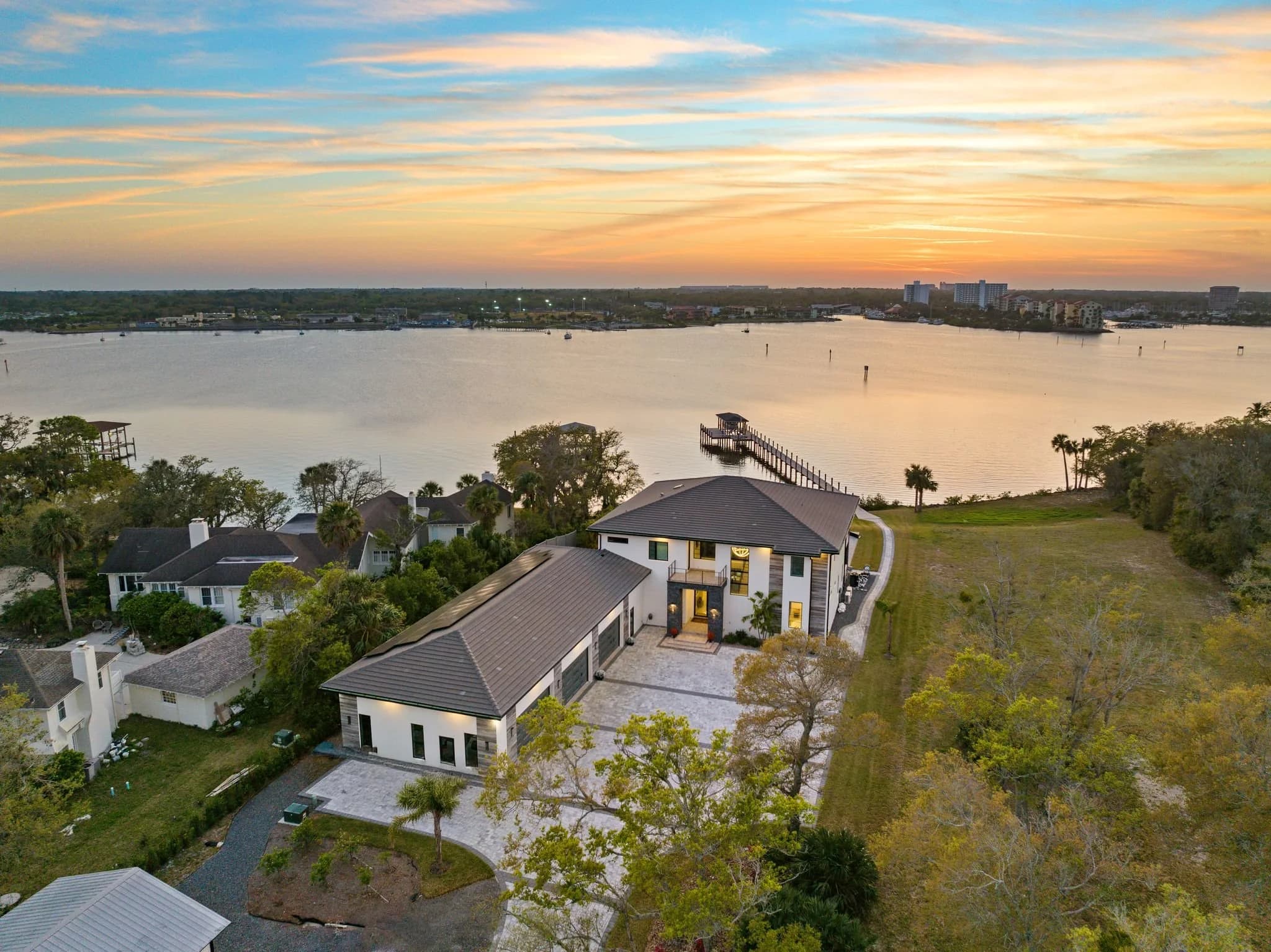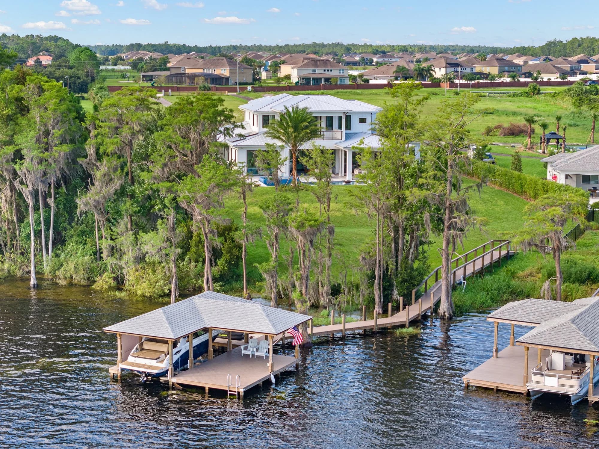
Almost everything written about drones in real estate is about selling something. Wide establishing shots, a slow orbit in low evening light, an aerial that shows the lake behind the lot. That work matters, and it is most of what a developer buys aerial imagery for.
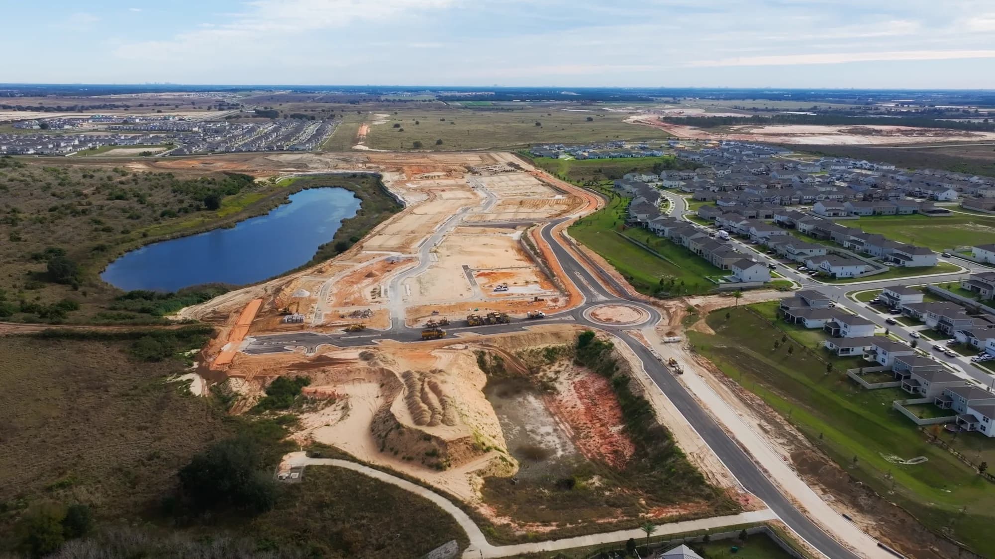
There is a second use that gets far less attention: flying a site to measure and document it rather than to market it. Mapped imagery, top-down and stitched into a single scaled picture of the whole parcel. Repeatable flights that let you lay one month over another. Photogrammetric models that let somebody spin a site around on a screen during a meeting instead of squinting at a plat. If you are developing land in Central Florida or Central Texas, this is the side of aerial work worth understanding.
What a mapped flight produces that a marketing aerial does not
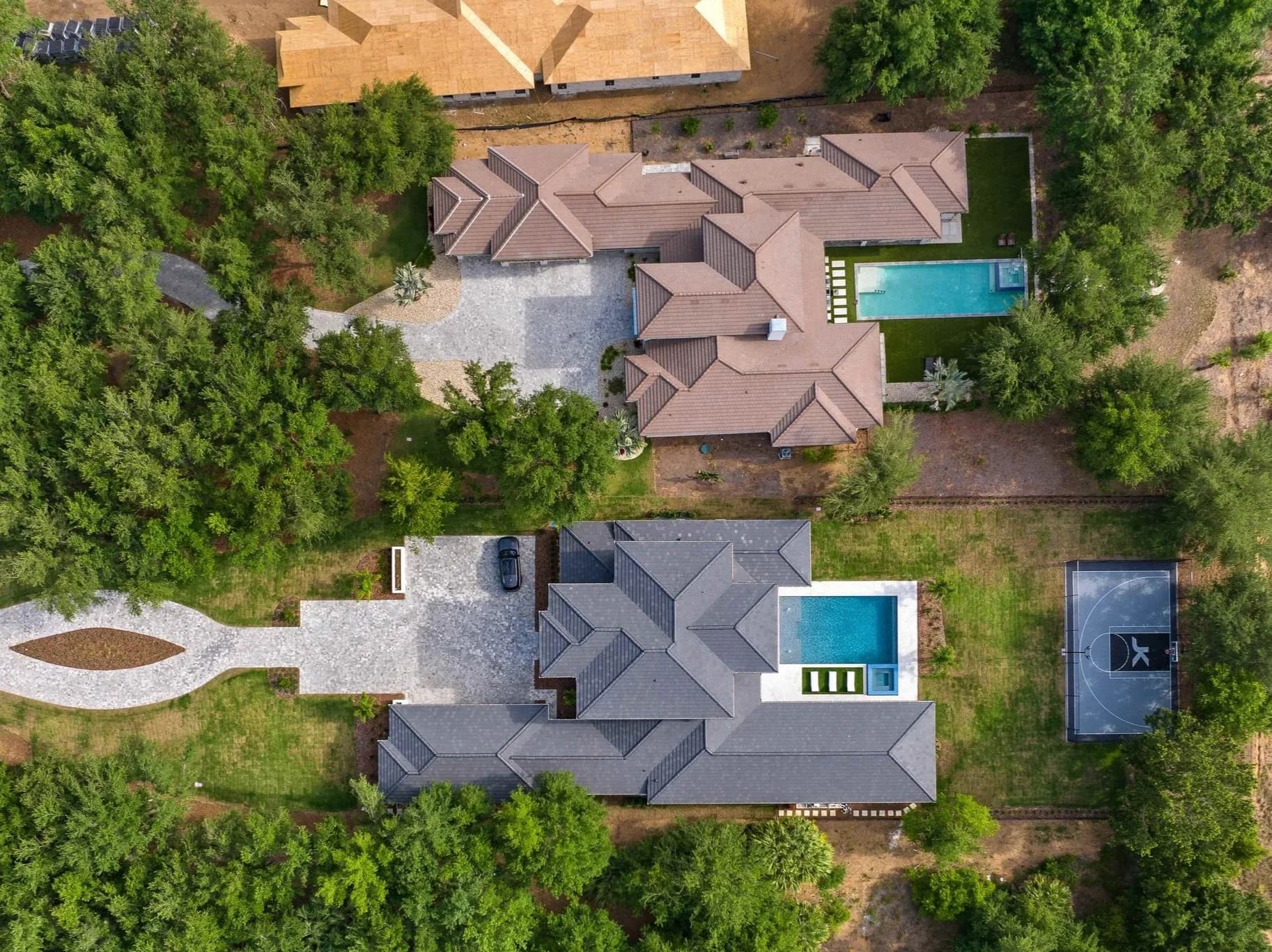
A marketing aerial is a small number of frames, shot obliquely, composed to look good. A mapping flight is a grid — the aircraft runs programmed passes over the whole parcel at a fixed altitude, capturing hundreds of overlapping nadir images. Software then stitches those into deliverables that behave less like photographs and more like drawings:
- An orthomosaic — a single top-down image of the entire site, geometrically corrected so it reads at consistent scale across the whole frame rather than distorting toward the edges. You can pull rough distances off it and overlay it on a site plan.
- A 3D site model — a textured mesh or point cloud built from the same image set, useful for showing grade, stockpiles, pond excavation, and how a parcel actually sits relative to its neighbors.
- A dated visual record of ground conditions across the whole parcel, not just the corner someone happened to photograph.
The difference in feel is worth naming: marketing aerials answer "how does this place look," mapped imagery answers "what is out there right now, and where." Both are useful. They are rarely the same flight.
Repeatability is most of the value
A single orthomosaic is interesting. A series of them flown along the same programmed path is a different kind of asset, because now every image lines up with every other one. Clearing, mass grading, utility trenching, pond and retention work, road base, pad delivery — each phase becomes a frame in a sequence you can scroll rather than a folder of photos nobody can sequence later.
Practical notes on making the series actually align:
- Fly the same altitude and the same flight plan every time. Changing either breaks comparability.
- Pick a consistent window in the day. Long shadows across a graded site can read as grade changes that are not there.
- Establish the cadence up front and tie it to milestones rather than to the calendar. Flying monthly on a site that moved twice all quarter produces three nearly identical maps.
- Store the set with the date in the filename and the flight parameters alongside it. Two years on, nobody remembers what altitude anything was flown at.
This is the aerial counterpart to ground-level documentation, and the two work best together — the map shows the whole site, the ground photography shows the wall. The ground side is covered separately in the post on construction progress photography for builders.
What mapped imagery is not
This part matters, and it is where expectations need setting honestly. Photogrammetry from a drone produces measurements, but it does not produce a survey. Absolute accuracy depends on the aircraft's positioning, on whether ground control points were placed and shot, on terrain, on vegetation, and on how the data was processed. Dense tree canopy in particular does not photogrammetrically model well, because the software can only reconstruct what the camera can see.
So the honest framing is this: mapped drone imagery is excellent for visual comparison, for estimating and sanity-checking, for communicating a site's condition to people who are not standing on it, and for spotting problems early. It is not a boundary survey, a topographic survey, or a volumetric calculation you would sign your name to. When the number has legal or financial weight, it comes from a licensed surveyor. When the question is "show me what the east end looks like now versus in June," the map answers it faster than anyone driving out there.
Planning a flight over a site in Florida or Central Texas
Grid flights take longer over a site than a marketing shoot does, which makes the practical constraints more binding. A few that come up constantly on Orlando, Tampa Bay, Austin, and San Antonio sites:
- Airspace. Large parcels have a way of sitting near airports, and controlled airspace affects whether and at what altitude a flight can happen at all. That has to be settled before scheduling, not on site. The rules side is covered in the post on Part 107 and legal drone photography, and the local picture in the one on drone no-fly zones around Orlando.
- Weather and ground conditions. Wind shortens flights and degrades stitching. Standing water after a summer storm changes what a map shows, which is sometimes exactly what you want documented and sometimes the reason to wait.
- Site access and safety. An active site with equipment moving needs a launch point, and someone who knows the day's work is happening where.
- What you want out of it. A model for a lender meeting, an overlay for the civil engineer, and a progress series for internal reporting are not processed the same way. Say which one before the flight.
If the goal is marketing the finished community rather than documenting the build, that is genuinely different work — the post on location aerials covers it.
If you have a parcel moving through entitlement or into construction and want to talk through what a flight program would look like, we are happy to map it out with you. Ready to book? Call or text (689) 600-2131 or get in touch.