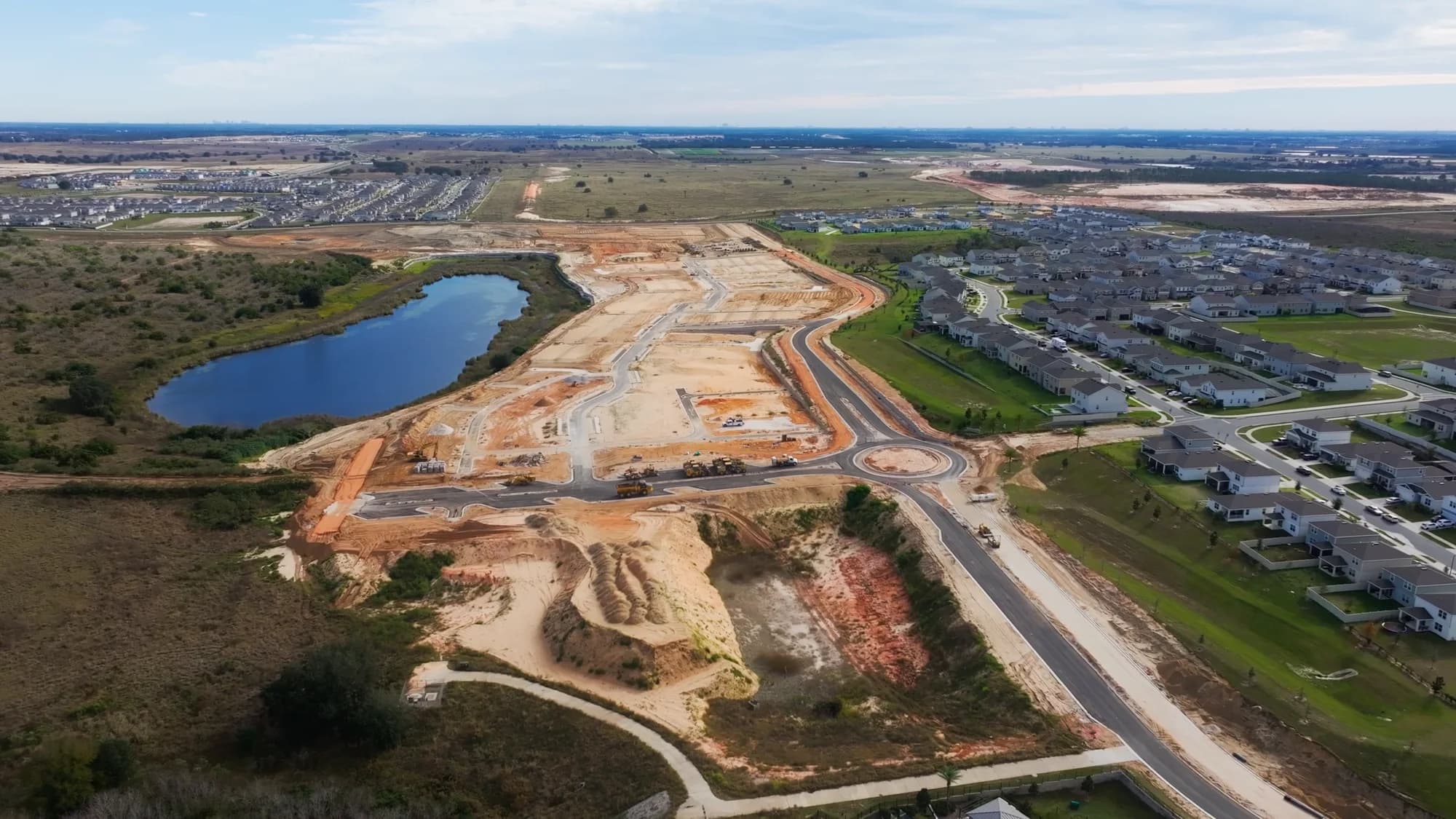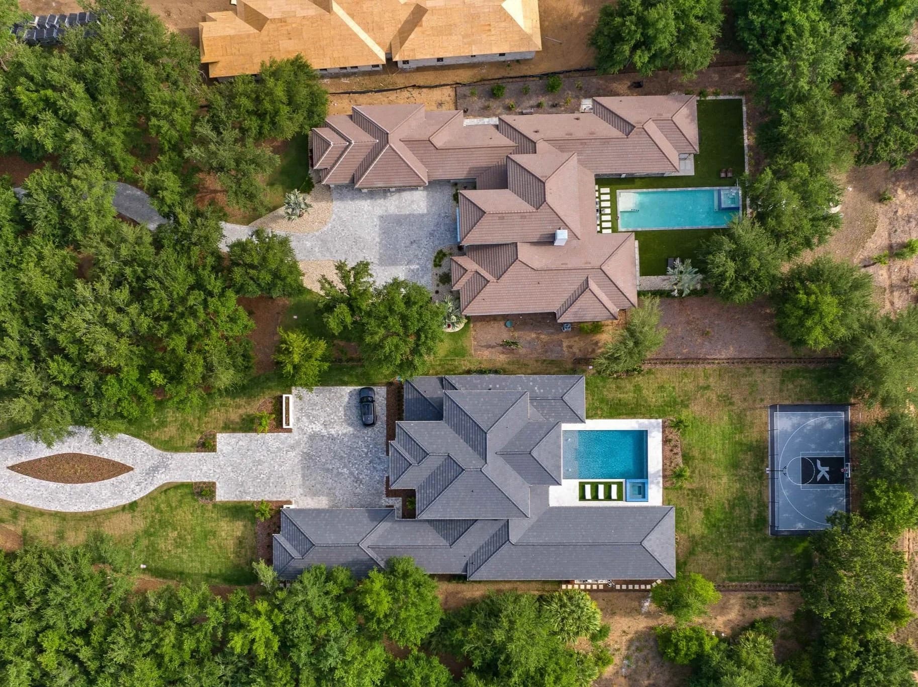
Construction drone progress monitoring means flying the same site on a planned schedule and capturing consistent aerial photos and video of each phase. The result is a visual record that shows owners, lenders, buyers, and your own team exactly where the project stands, without anyone walking a muddy lot.
For builders and developers in Orlando, Tampa Bay, Central Florida, Austin, and San Antonio, where large communities can span many acres, aerials show what ground-level photos cannot. Here is what a drone program delivers and how to plan one.
What you actually get
A good drone progress program produces more than pretty pictures. It creates a repeatable set of views you can compare over time.
- Fixed-position aerial stills from the same locations and altitudes each visit, so changes between visits are easy to see.
- Overview video passes that show how roads, utilities, pads, and vertical construction fit together across the site.
- Phase documentation for clearing, grading, infrastructure, foundations, framing, and finishes.
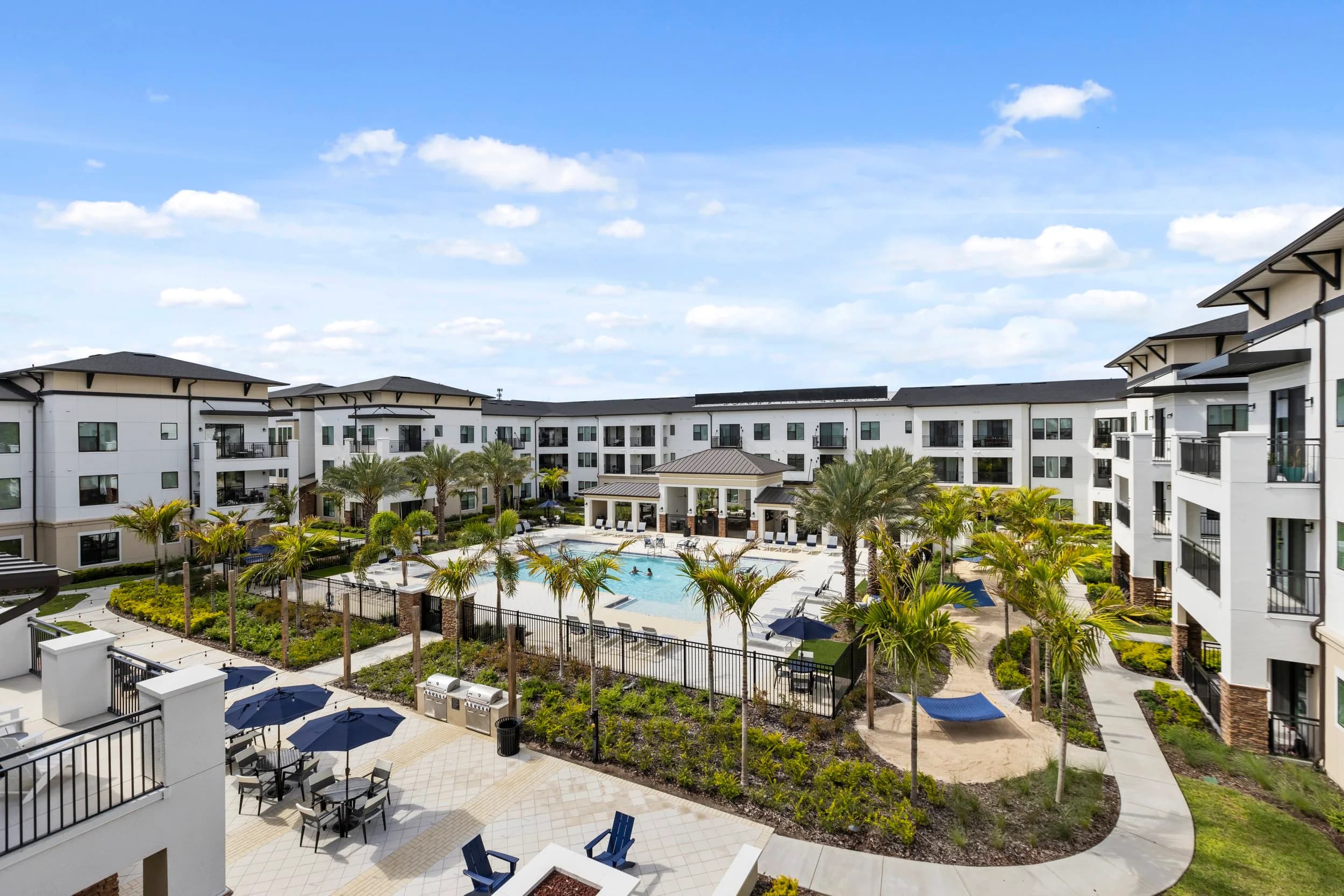
- Marketing-ready imagery that can also support sales, investor updates, and community websites.
This is different from a full survey or 3D site model. If you need measured maps and models, see drone mapping and site models for land developers. And if your goal is an edited video that compresses the build into a short film, construction time-lapse for builders and developers covers that separate topic.
Who uses it, and why
Different people get different value from the same flight.
- Developers and owners use aerials to report progress to partners and lenders without a site visit.
- Builders and superintendents use them to check logistics, staging areas, and site conditions at a glance.
- Sales and marketing teams use them to show prospective buyers how the community is taking shape, including amenities and lake or green-space views.
- Project managers use the record to document conditions and resolve questions about what was in place and when.
The ground-level side of the story matters too. Why home builders need professional construction progress photos explains how interior and exterior documentation complements the aerial view.
How to plan a program
A little planning before the first flight makes every later flight more useful.
- Pick the cadence. Monthly works for many communities, with extra visits at milestones such as the end of grading, first vertical, or amenity completion.
- Lock in the views. Agree on a set of repeatable positions and headings on day one, so each visit matches the last.
- Mark the milestones. Tie flights to your construction schedule, not just the calendar.
- Decide on the end use. Say whether the imagery is for internal records, lender reporting, marketing, or all three, since that affects how it is captured and organized.
- Plan around weather. Florida storms and Texas wind can move a flight, so build a little flexibility into the schedule.
Safety, permissions, and airspace
Commercial drone work in the United States follows FAA Part 107 rules, and some sites near airports or controlled airspace need additional authorization before a flight. Active job sites also have their own safety requirements, so the photographer should coordinate with your superintendent on access, working times, and any areas to avoid. Insurance and site access paperwork are worth sorting out before the first visit.
Consistency is the quiet advantage here. When every flight uses the same positions, altitudes, and times of day, shadows and scale stay comparable, and the eye picks out real change rather than differences in how the photo was taken. Over a multi-phase community, that discipline pays off in every report you send.
Making the record last
The value of drone monitoring compounds. A single flight is a snapshot, but twelve months of consistent flights become a clear history of the project. For ground-level documentation across a whole program, construction progress photography for developers in Central Florida shows how the pieces fit together.
Clear scheduling, consistent views, and organized files turn aerials into a tool your whole team can use. Delivery timing is confirmed at booking. Ready to book? Call or text (689) 600-2131 or get in touch.