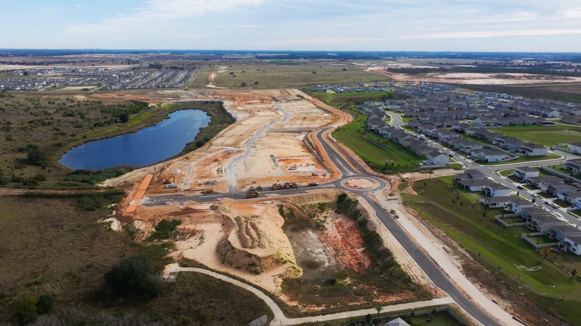
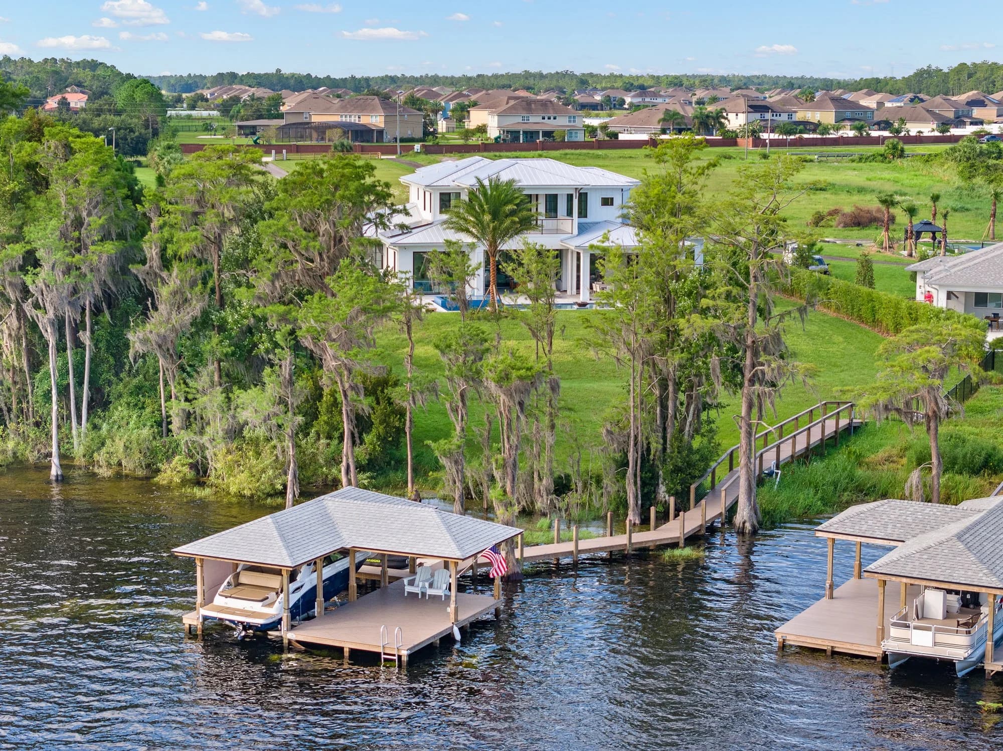
Not every Orlando property can legally get drone photos — and the reason usually has nothing to do with your photographer. Here’s how Central Florida airspace works, and what to do when a listing sits inside restricted territory.
Orlando Has Some of the Most Restricted Airspace in Florida
Central Florida is dense with controlled airspace. Between Orlando International (MCO), Orlando Executive (ORL), Sanford International (SFB), Kissimmee Gateway (ISM), Orlando Melbourne (MLB), and a handful of military and general aviation fields, a large share of the metro sits under Class B, C, or D airspace.
Under FAA Part 107 rules, a licensed drone pilot can’t simply launch inside controlled airspace. They need authorization — typically through LAANC (Low Altitude Authorization and Notification Capability), which grants near-instant approval at pre-set altitude ceilings for many grid squares. Where LAANC isn’t available, a manual FAA waiver request can take weeks.
What this means practically for an agent:
Some listings get drone photos same-day with no friction
Some get them at a reduced ceiling (say, 100 feet instead of 400)
Some require advance notice for authorization
A small number can’t get aerial imagery at all
The Disney TFR Is Permanent — and It’s Larger Than People Think
The standing Temporary Flight Restriction over Walt Disney World is one of only two theme-park TFRs in the country, and despite the name, it has been in place continuously for over two decades. It covers a three-nautical-mile radius up to 3,000 feet AGL.
That circle takes in a meaningful chunk of the Bay Lake and Lake Buena Vista area, and it clips neighborhoods that many agents wouldn’t expect. Vacation-rental listings in the Reunion, Celebration, and Four Corners corridors sit near enough to the boundary that a pilot has to check the exact coordinates rather than eyeball it.
There is no LAANC workaround for a TFR. It is a hard no.
A few other airspace notes for Central Florida:
Cape Canaveral and the Space Coast see rolling launch-window TFRs that appear with limited notice
Stadium TFRs apply within three nautical miles of large venues during events
Wildfire and law-enforcement TFRs pop up seasonally and can ground a shoot the morning of
How a Legitimate Photographer Handles This
A Part 107-certified pilot checks airspace before your shoot, not after. On a professional workflow, that looks like:
Pulling the exact parcel coordinates from the listing address
Checking the sectional and current TFRs for that day and time
Filing LAANC authorization if the property sits in controlled airspace
Confirming ceiling limits so the flight plan works within them
Telling you in advance if aerials aren’t possible
If a photographer quotes drone coverage on a Bay Lake property without hesitating, that’s a flag. Flying inside a TFR carries real consequences — civil penalties, certificate action, and in the worst cases federal charges. It also puts your brokerage in an awkward position if the imagery is later challenged.
What to Do When You Can’t Fly
A restricted listing isn’t a dead end. The goal of an aerial is usually to establish context — lot size, proximity to water, community amenities, roof condition — and there are other ways to get there.
Elevated pole photography. A mast-mounted camera at 20 to 30 feet delivers much of the value of a low aerial and is not regulated as an aircraft.
Rooftop or upper-story vantage points. On multi-story homes and condos, a balcony or upper window often produces the context shot.
Community and amenity photography. Shoot the clubhouse, pool deck, trail system, and waterfront access from the ground.
Map and plat graphics. A clean lot-line overlay on a satellite base image communicates parcel size without any flight.
Licensed stock aerials of the community. For a resort-area condo, a wide community image sourced legally can set the scene.
Ask Before You List, Not the Morning Of
The most common version of this problem is an agent who has already promised drone photos to a seller before anyone checked the airspace. That’s a hard conversation to have twice.
Before you take the listing photos to market, send the address to your photographer and ask two questions: can we fly here, and if so, at what ceiling. It takes a few minutes to check and saves an awkward reset later. For builders marketing a new community near Lake Nona, Horizon West, or the 429 corridor, it’s worth checking the whole parcel early — airspace boundaries don’t respect property lines, and one end of a community may be clear while the other isn’t.
Airspace rules also change. A field that was uncontrolled two years ago may have new Class D coverage today, and TFRs are dynamic by definition. The check has to happen per shoot, not once per neighborhood.
Ready to book? Get in touch or call us — we serve Orlando, Tampa Bay, and Central Texas.