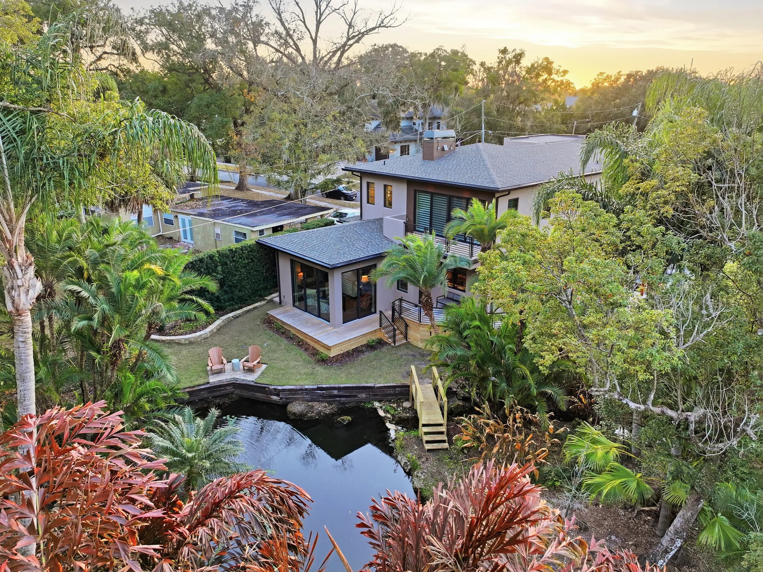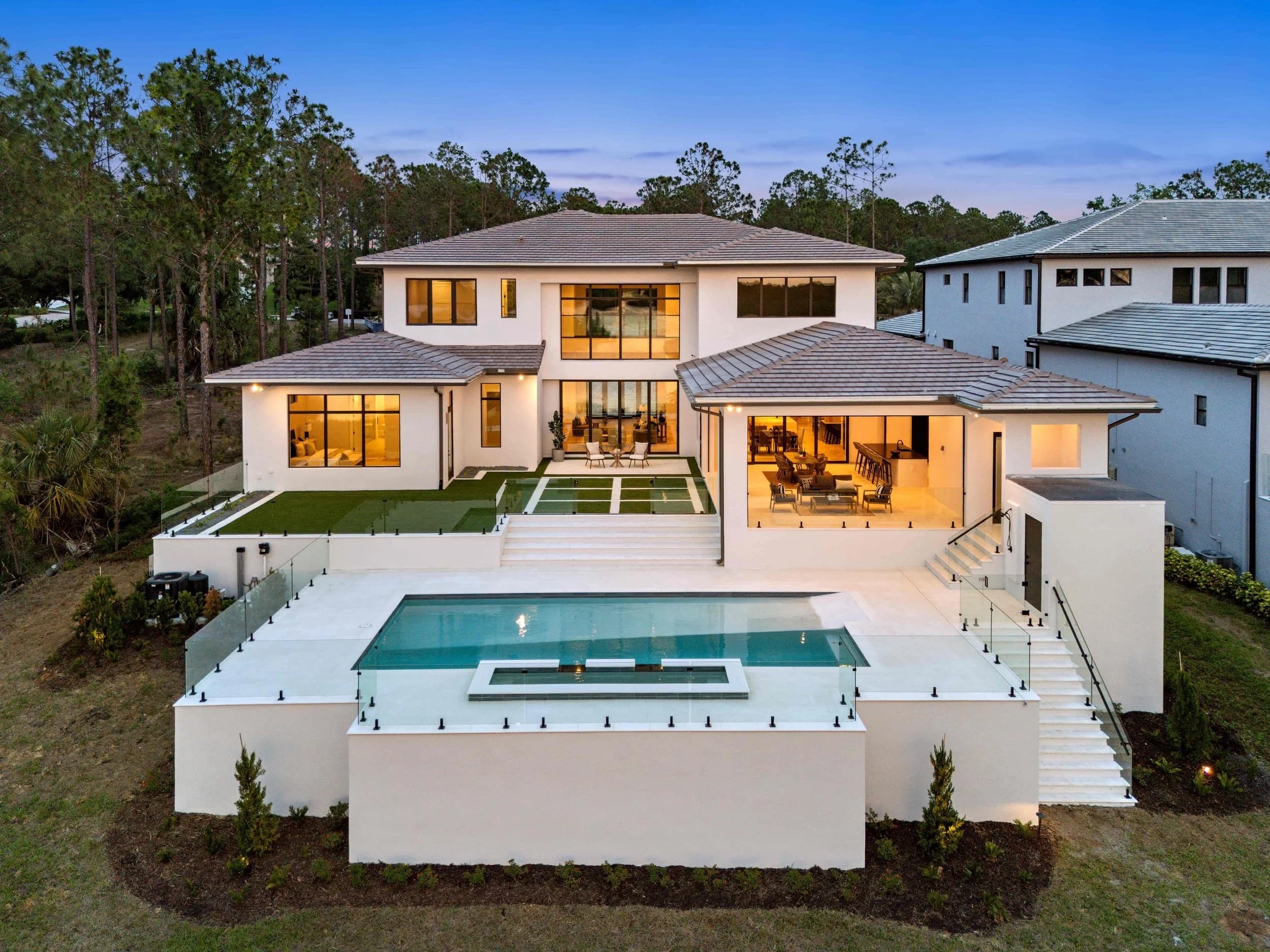
Most drone photos in a listing do one job — they show the roof, the lot, and the backyard from 80 feet up. That's useful. But the more valuable aerial is often the one that never gets taken: the shot that shows where the home actually sits.
The difference between a property aerial and a location aerial
A property aerial is about the house. It frames the lot lines, the pool, the elevation, and the immediate setting. Every listing with a yard benefits from two or three of these.
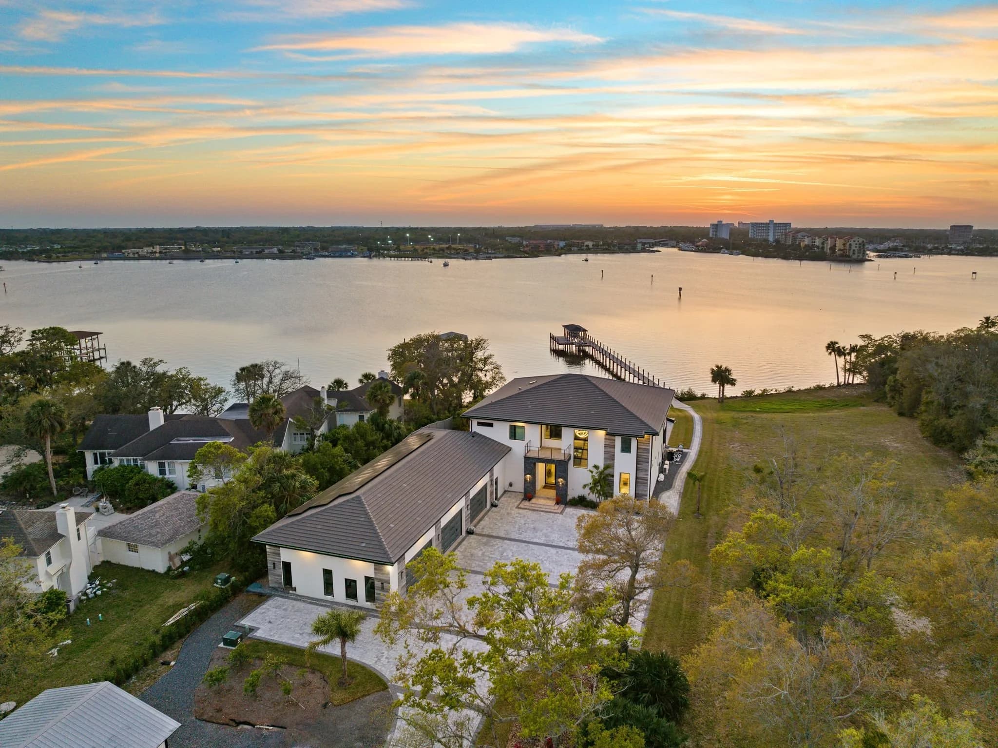
A location aerial is about context. It's flown higher or from farther out, and it's composed to put the home in relationship with something a buyer cares about: a lake, a downtown skyline, a golf course, a beach, a park, a school, or a highway interchange. The house may be a small element in the frame, sometimes marked with a subtle pin or callout.
Most listings in Orlando and Tampa Bay get four property aerials and zero location aerials. That's a missed opportunity, because location is usually the thing the buyer already decided on before they clicked.
When a location aerial is worth flying
Not every home needs one. These are the situations where it changes the listing:
Water proximity. A home three lots off a lake in Winter Garden or two blocks from the bay in St. Pete reads completely differently when a buyer can see the water in the same frame as the house.
Downtown or employment centers. Buyers relocating to Orlando, Tampa, Austin, or San Antonio often can't picture the commute. An aerial showing the skyline on the horizon does more than a paragraph of copy.
Golf course and country club communities. Showing where the home sits on the course — fairway view, tee box, or interior lot — sets expectations honestly and attracts the right buyer.
New construction communities. Builders benefit enormously here. A single wide aerial can show the amenity center, the model row, the pond, and the phase under construction in one image.
Acreage and land. For rural listings in Central Florida or the Texas Hill Country, a boundary-context aerial is often the single most important photo in the set.
Walkability. Homes near a Main Street district, a trail system, or a town center benefit from an aerial that shows the walk, not just the address.
When to leave it out
Location aerials cut both ways. If a home backs a busy six-lane road, sits beside a commercial parking lot, or faces a retention pond that isn't attractive, a wide aerial makes that permanent and public. In those cases, tighter property aerials — or ground-level exteriors only — serve the seller better. This is a judgment call worth making before the flight, not during editing.
There's also a fair-housing consideration. Aerials and captions should describe geography and amenities, not the character of a neighborhood or the people in it. Keep the language factual: "0.4 miles to Lake Baldwin," not a subjective claim about who the area suits.
Getting it right technically
Altitude and framing. Location aerials generally live between 200 and 400 feet, higher than a typical property shot. In much of the Orlando and Tampa metros, that means checking controlled airspace before the flight rather than after.
Airspace. Both metros sit under heavily managed airspace — MCO, TPA, Orlando Executive, St. Pete–Clearwater, plus the theme park temporary flight restrictions. A licensed Part 107 remote pilot handles LAANC authorization for these zones, and some areas simply can't be flown at the altitude a location shot requires. That's worth knowing before a listing goes live, not the morning of.
Time of day. Location aerials read best in the hour after sunrise or before sunset, when long shadows separate buildings and water picks up color. Midday flights flatten everything into the same gray-green.
Weather. Central Florida's summer pattern means afternoon storms build fast. A morning flight window is more reliable from June through September, and haze after a storm can wash out anything past a mile.
Labeling. A clean, minimal callout — a thin line and a small label — helps buyers orient without making the image look like a brochure. Heavy graphics tend to date a listing quickly and can be stripped or rejected by some MLS image rules.
How agents and builders actually use them
For agents, one strong location aerial usually earns a spot in the top five photos, right after the front exterior and the primary living space. It also becomes the highest-performing image in paid social ads, because the context is what stops the scroll.
For home builders, location aerials do double duty: they sell individual homesites and they sell the community itself. A single well-flown set can supply the community landing page, the sales center display, the brochure, and the ad campaign for a full phase — and it's worth reshooting once or twice a year as construction progresses and amenities open.
For luxury vacation rentals, proximity to the parks, the beach, or the golf course is the booking decision. An aerial answering "how far?" beats any amount of description.
The takeaway
Buyers choose a location first and a house second. If your aerial set only shows the house, you're only marketing half of what they're buying. One additional flight decision — pulling back, gaining altitude, and framing the context — often produces the image that gets the showing.
Ready to book? Get in touch or call us — we serve Orlando, Tampa Bay, and Central Texas.