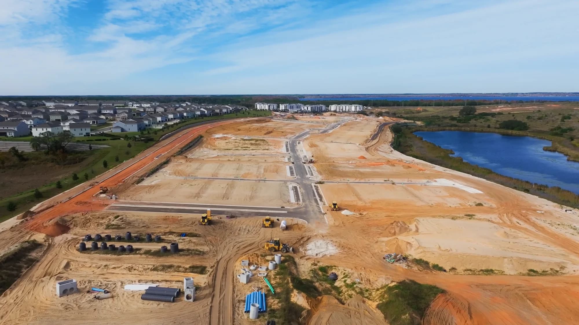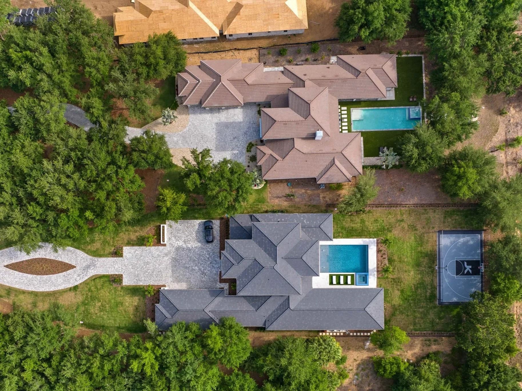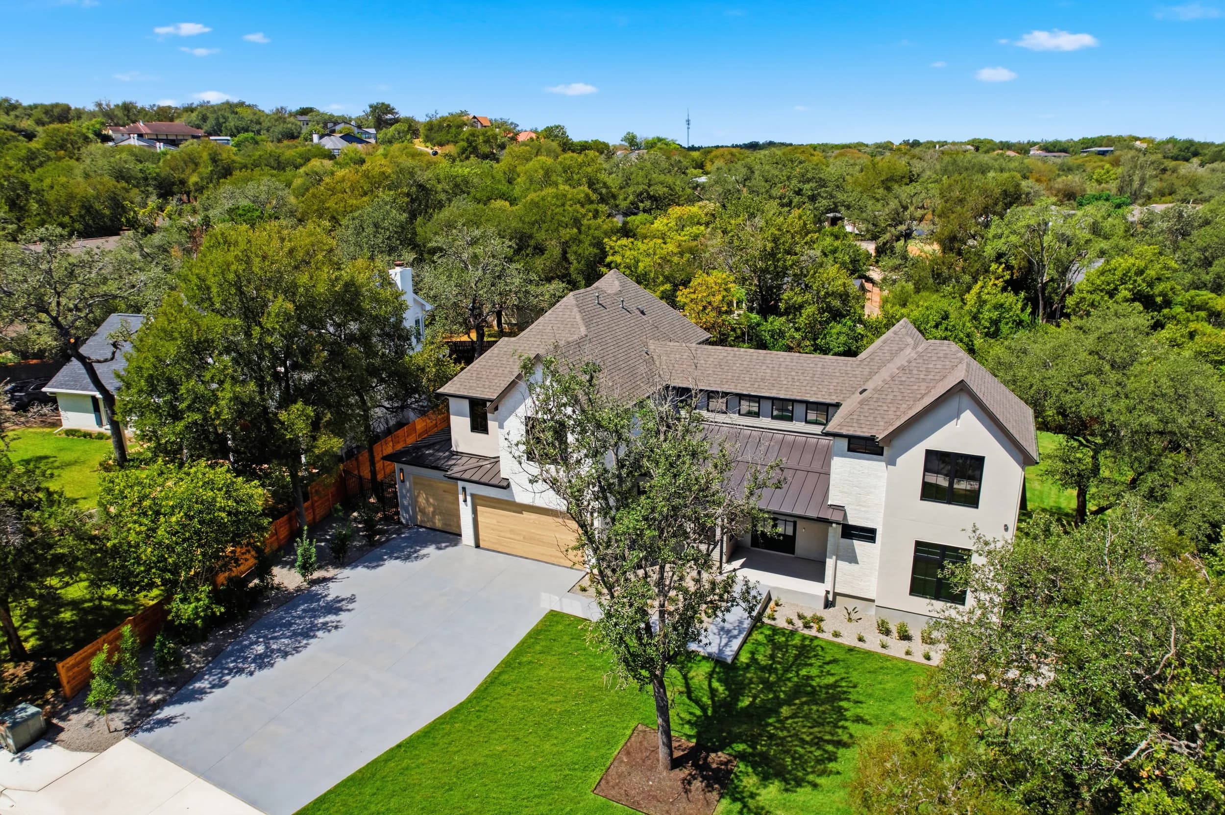
Austin home builders put a lot of money into the ground before a single model opens, and lenders, investors, land teams and sales staff all want to see how that work is going. A construction progress drone program gives them the same view of each site on a regular schedule. For builders working from Leander and Georgetown down to Kyle and Buda, and east toward Hutto and Manor, the basics are the same as anywhere. What changes in Austin is the ground, the weather and the airspace.
This post covers how to set up a progress drone program that holds up across Central Texas conditions. How often to fly is covered in a separate post on how often to take construction progress photos, and our Tampa Bay builders have their own version in construction progress drone programs for Tampa Bay builders.
What makes a progress program work
A progress program is not a series of nice aerials. It is a repeatable record, and the value comes from comparing one flight to the last. That depends on a few fixed decisions made before the first flight:
- Fixed vantage points. Each point has a set position, altitude and heading, logged so any pilot can return to it.
- A consistent time window. Flying at roughly the same time of day keeps shadows and color comparable from month to month.
- A shot list per phase. Mass grading, utilities and roads, vertical construction and final landscaping each need slightly different coverage.
- Consistent naming. Files labeled by site, point and date so a land manager can pull "northwest corner, every month" without digging.
Austin terrain and what it changes
The Austin area straddles two very different landscapes, and the vantage plan should follow the ground.
- Hill Country sites to the west. Communities on the Hill Country side often involve slopes, limestone, retaining walls and terraced homesites. Vantage points need enough height to see over grade changes, and a few low oblique angles help show cut-and-fill work and wall construction that a straight-down view hides.
- Blackland Prairie sites to the east. Around Pflugerville, Hutto and Manor the ground is flatter and open. Flat sites read poorly from low angles, so higher oblique views that show street grids and phase boundaries do more work.
- Clay soils and access. Much of the area east of I-35 sits on clay that turns to deep mud after rain. Launch spots should be on paved or stabilized ground where possible, with a backup spot in the plan.
- Preserved trees. Many Austin-area sites keep mature live oaks. Pick vantage points that show them, and keep the same trees in frame each month so the record reads clearly.
Weather, light and airspace in Central Texas
Central Texas weather affects both safety and how comparable the images are.
- Summer heat and haze. Midday haze softens long views, and heat affects drone batteries. Morning flights hold up better through the summer.
- Wind. Spring fronts bring strong, gusty wind. A program needs a clear rule for when a flight moves, so a windy day doesn't produce tilted, inconsistent frames.
- Winter sun. Low winter sun creates long shadows across a site. Keeping the same flight window matters even more in December and January.
- Storms. When a flight is rained out, reschedule it close to the original date so the monthly spacing stays even.
Airspace is the other planning step. Parts of the Austin area sit in controlled airspace around Austin-Bergstrom International Airport and the region's smaller airports. Commercial drone pilots request authorization for those areas before flying, and some sites may need a lower ceiling or an adjusted vantage point. Settle this when the vantage plan is built, not on the first flight day, so every point in the plan is one the pilot can return to.
Turning flights into something useful
The flights only pay off when the right people can use them. A typical program produces:
- Matched stills from every vantage point, for lender draws, investor updates and internal reviews.
- Side-by-side comparisons that show change between flights at a glance.
- A time-lapse at the end of a phase, built from the same fixed points. See construction time-lapse for builders and developers for how that works.
- Maps and site models for land and engineering teams, which are a separate capture covered in drone mapping for land developers.
Sales teams also use progress aerials to keep interest lists engaged before models open, which turns a documentation expense into marketing content.
Frequently asked questions
Do you run construction progress drone programs in Georgetown, Hutto and Kyle?
Yes. JRP has a local crew in Austin and flies progress programs for builders across the metro, including the I-35 corridor north and south of the city and the east-side suburbs. Programs can also cover sites in San Antonio.
What if a different pilot flies next month?
That is what the vantage log is for. Each point is recorded with position, altitude and heading, so any pilot on the crew can match the previous flight.
Can progress flights include ground photos?
Yes. Many builders add a few ground-level photos per visit, such as the model under construction or the amenity center going vertical, to show detail the aerials can't.
What happens when weather cancels a flight?
The flight is moved to the nearest workable day so the spacing between flights stays consistent. Wind and rain rules are agreed on when the program starts.
When do we receive the files from each flight?
Delivery timing for progress programs is confirmed at booking, along with the file naming and sharing setup.
Ready to book? Call or text (689) 600-2131 or get in touch.