Lake Travis and Lake Austin waterfront listings sell the water first and the house second, so the photography has to show the lake clearly, honestly and from the right angles. Both lakes sit on the Colorado River west of downtown Austin, but they photograph very differently. This guide walks agents through what changes on each lake, how to handle water levels, and how to sequence a gallery from the front door down to the dock.
It builds on our post about Westlake and Rollingwood hillside homes, which covers slopes and long views in general. Here the focus is the shoreline itself.
Two lakes, two different shoots
The lakes look similar on a map, but buyers experience them differently, and the photos should reflect that.
- Lake Austin is held at a fairly steady level between two dams and feels more like a wide river. Lots are often narrow, neighbors are close on both sides, and the opposite bank is near enough to appear in every water view. Boathouses and covered docks are common, and the cliffs and greenery across the water are part of the appeal.
- Lake Travis is a large reservoir with coves, open water and long views toward the Hill Country. Homes often sit high above the shoreline, so the walk down to the water, by stairs, path or tram, is part of the story. The water level can rise and fall a great deal over time.
For Lake Austin, the job is usually about framing the water so it reads as private and calm despite the neighbors. For Lake Travis, it is about showing distance, elevation and how the property actually reaches the water.
Water levels and showing them honestly
On Lake Travis, the shoreline in the photos is the shoreline on the day of the shoot. When the lake is low, a dock may sit on dry ground or far out from where it normally floats. When it is full, the same cove can look completely different.
- Photograph what is there. Buyers and their agents will check, and current lake levels are published by the Lower Colorado River Authority.
- Label older photos. If you want to include a high-water image from an earlier year, caption it clearly with the date so it is not mistaken for current conditions.
- Do not caption depth or access you have not confirmed. Words like "deep water" or "year-round access" are claims. Leave them to verified information in the listing remarks, not the photo caption.
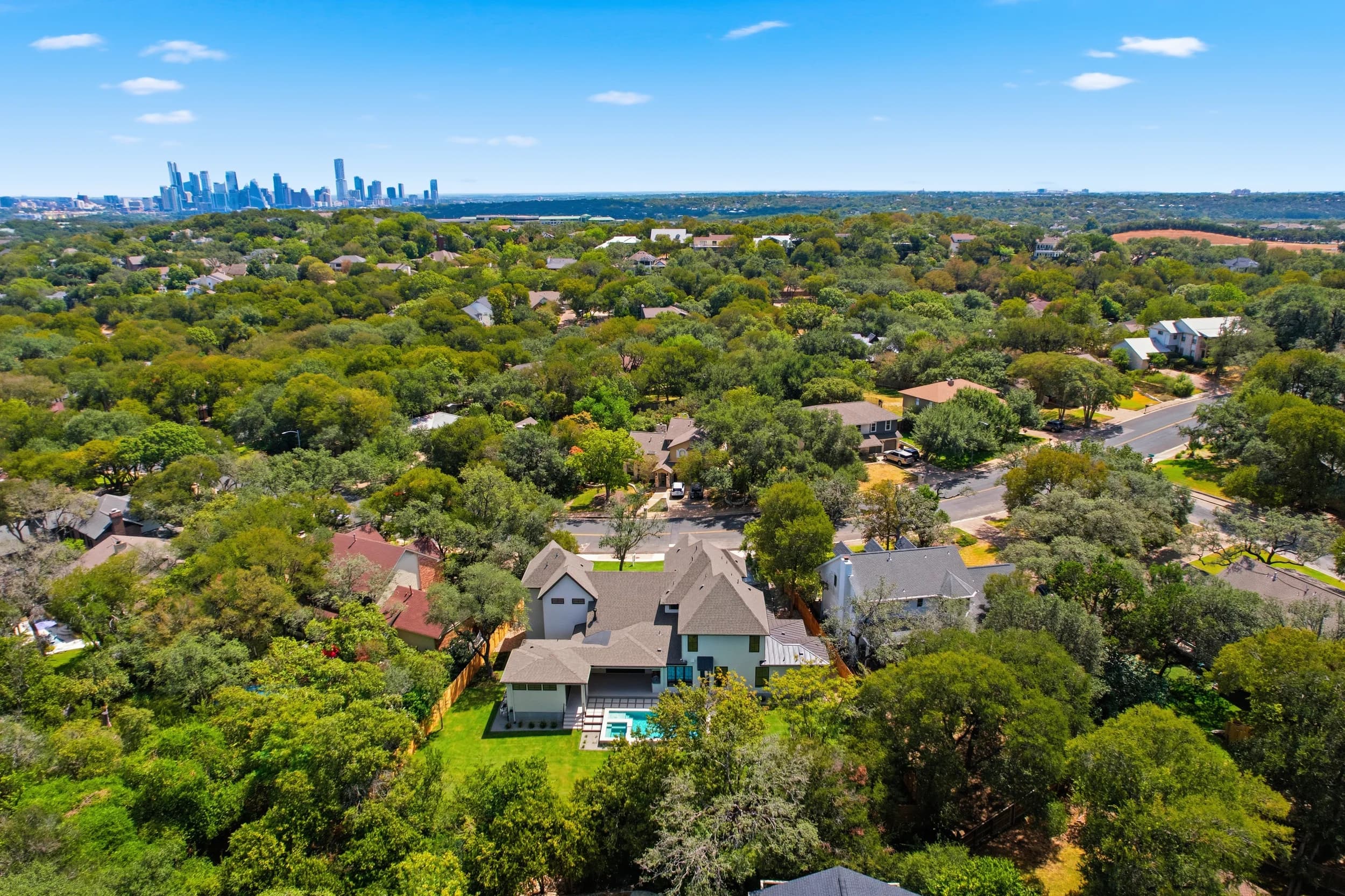
- Use aerials for context. A higher drone frame shows where the property sits in the cove and how far it is to open water, which matters to buyers whatever the level is that month.
Lake Austin is simpler on this point because the level stays steady, but the same caption discipline applies to boat lifts, slips and docks.
Docks, boathouses and the path down
Waterfront buyers want to understand the walk from the house to the boat. A strong gallery follows that route in order:
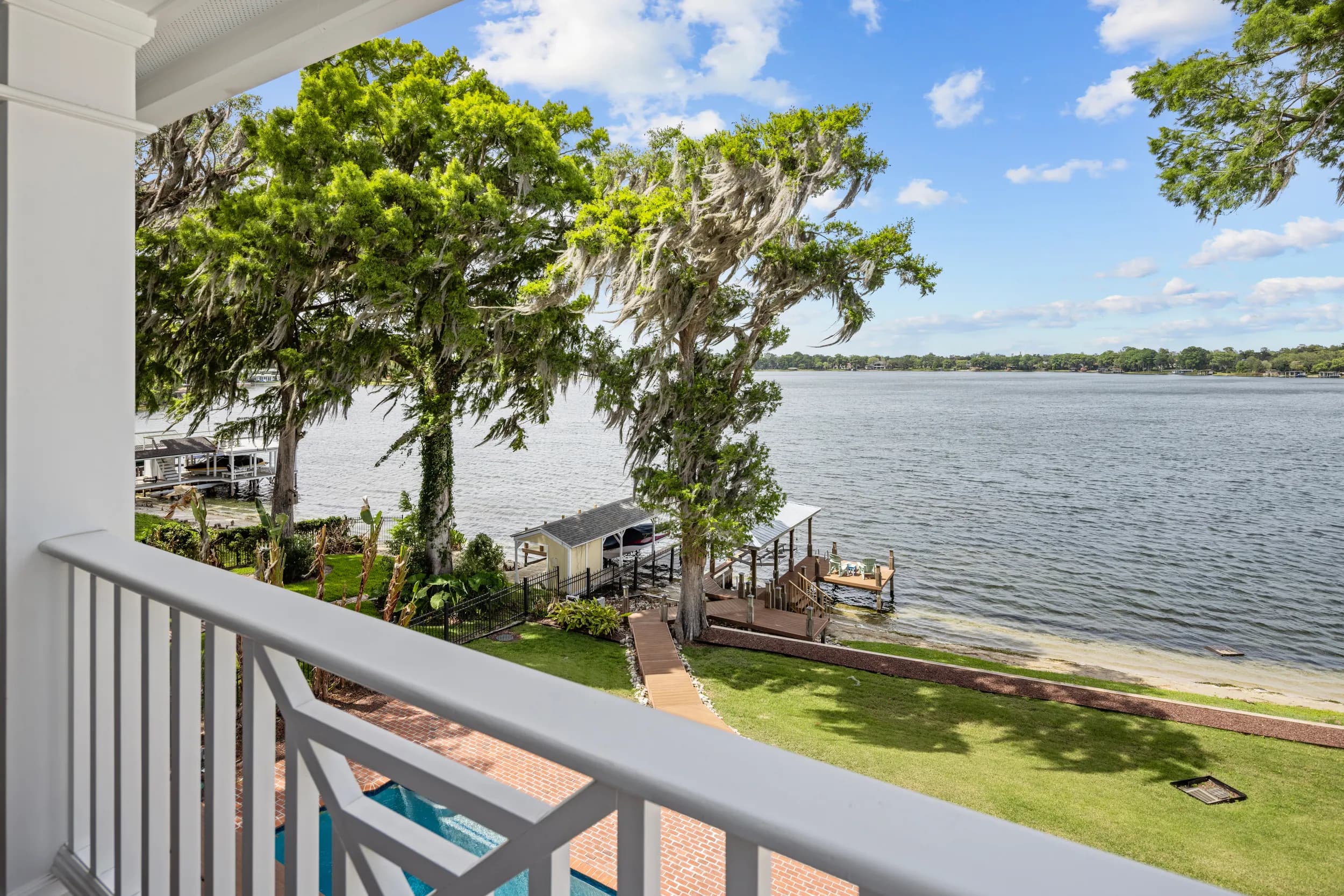
- The main living area with the lake view through the windows.
- The back terrace or pool with the water beyond.
- The stairs, path or tram down the slope, so buyers see the distance honestly.
- The dock or boathouse from the shore, then from the water side if it can be reached safely.
- Details: the boat lift, slips, a swim platform, lighting and storage.
Our guide to photographing docks, boat lifts and canal access covers the dock frames in more depth. On Central Texas lakes, add the slope: a dock that is a long climb from the house is still a selling point, but buyers deserve to see the climb.
Drone views of the cove and the lake
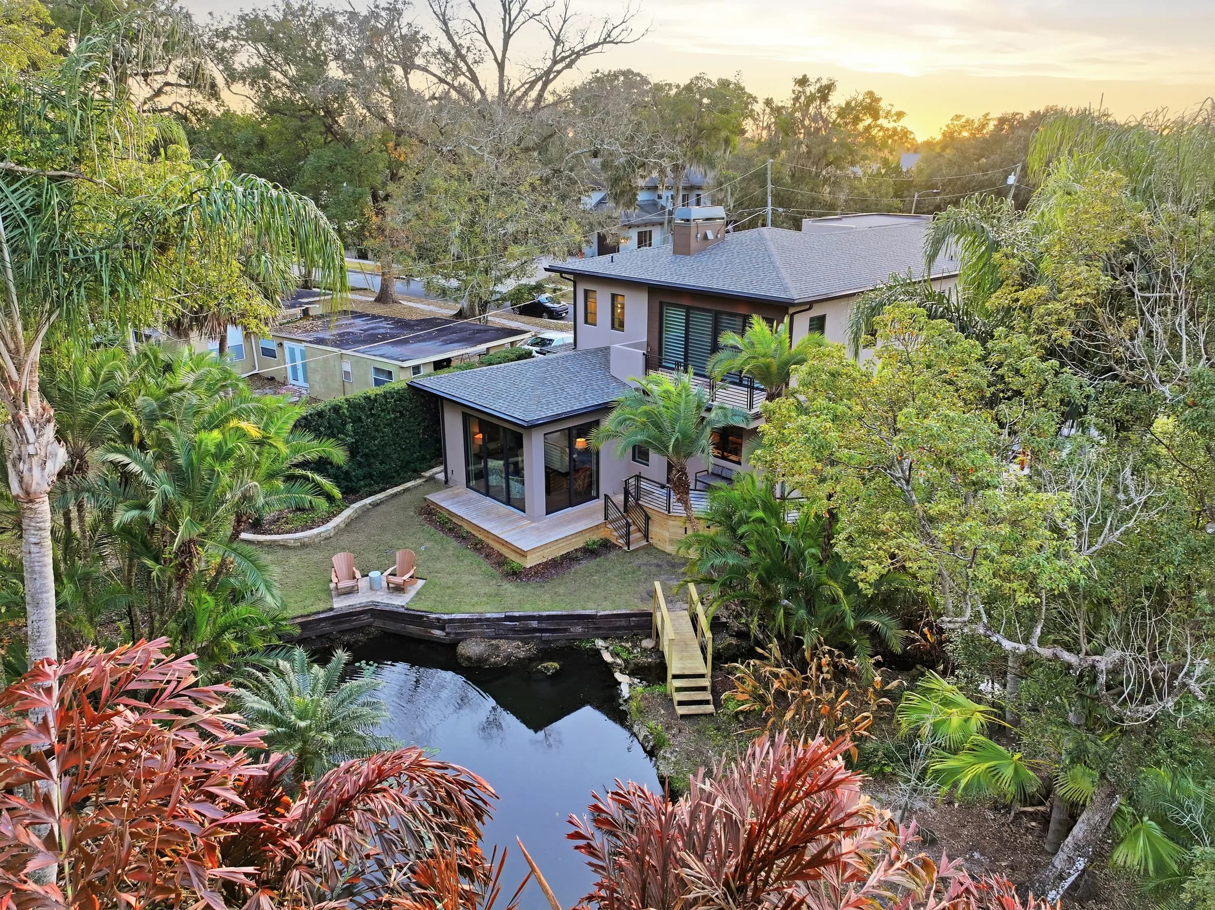
Aerials do more on these lakes than almost anywhere else in Austin. A good waterfront set usually includes a low oblique of the home and shoreline together, a higher frame placing the property on its cove or bend, and a wide view toward open water or the hills. Drone video works well for the same reason, as covered in our post on how drone footage helps sell waterfront properties.
Light matters. Afternoon sun can turn the water into a bright sheet of glare on some exposures, while softer light near sunset brings out the color of the hills. Flights are planned within the pilot's FAA Part 107 certificate and any airspace authorization the location needs, and we keep neighbors' docks and yards out of close frames.
Frequently asked questions
Do you photograph Lake Travis and Lake Austin waterfront homes?
Yes. JRP has a local crew in Austin and shoots waterfront homes on both lakes, including photos, drone, video and 3D tours.
Should I wait for the lake to rise before listing on Lake Travis?
That is a pricing and timing decision for you and the seller. Photographically, we show the property as it is on the shoot day and use aerials to explain its position on the cove, which holds up whatever the level.
Can you photograph the dock from the water?
We shoot from the shore, the dock and the drone on every waterfront listing. Shots from a boat are planned case by case when the seller can provide one safely.
Is drone photography allowed over Lake Austin and Lake Travis?
Often, yes, but every address is checked first. Some areas need airspace authorization, which is why it helps to share the address when you book.
How soon will I have the photos?
Listing galleries are delivered within 24 hours, video in 48 to 72 hours. Larger properties take a little longer, and big waterfront estates with drone and video often fall in that group.
If you are comparing photographers in the area, our guide to finding a real estate photographer in Austin lists the questions worth asking. Ready to book? Call or text (689) 600-2131 or get in touch.