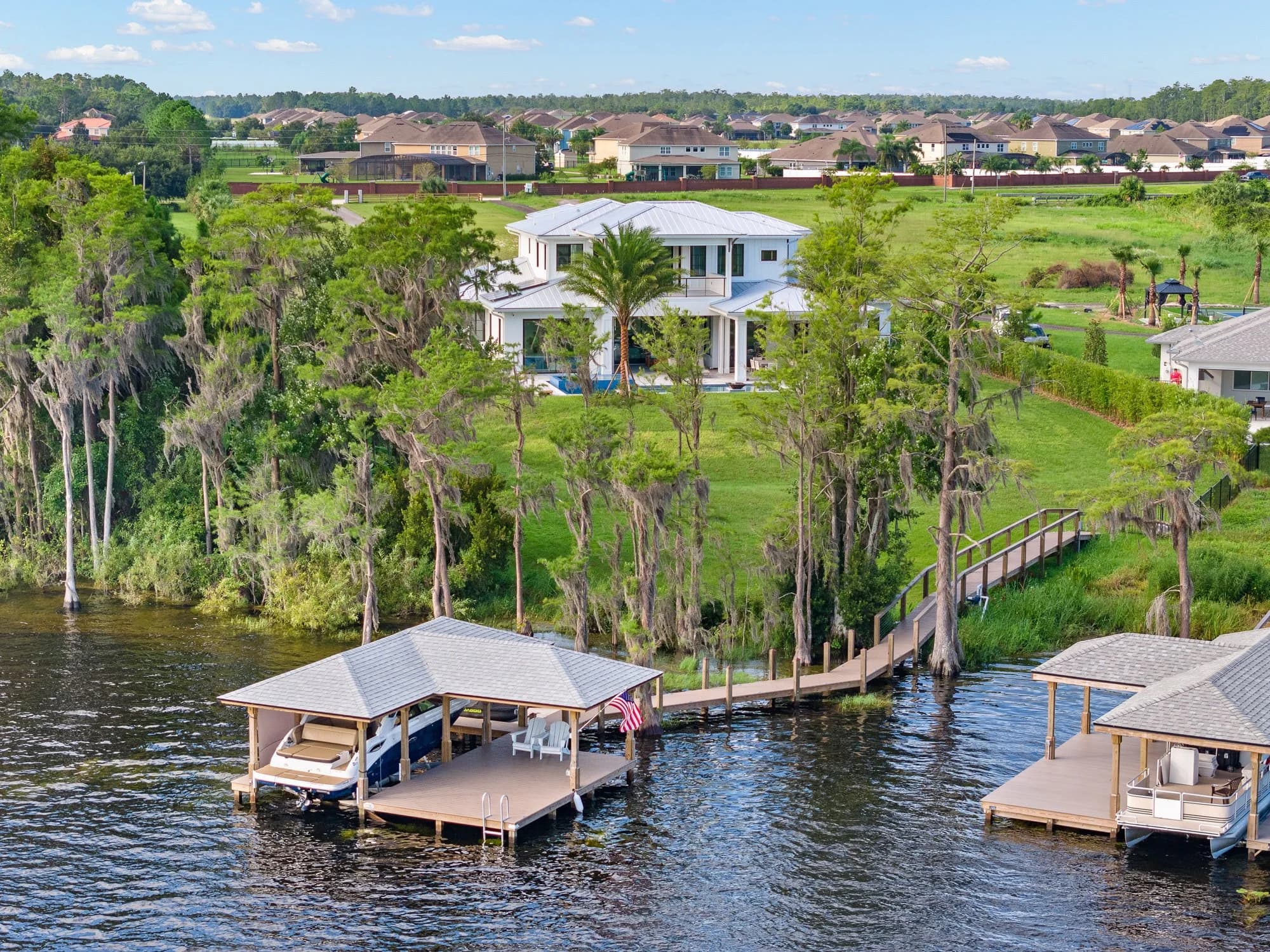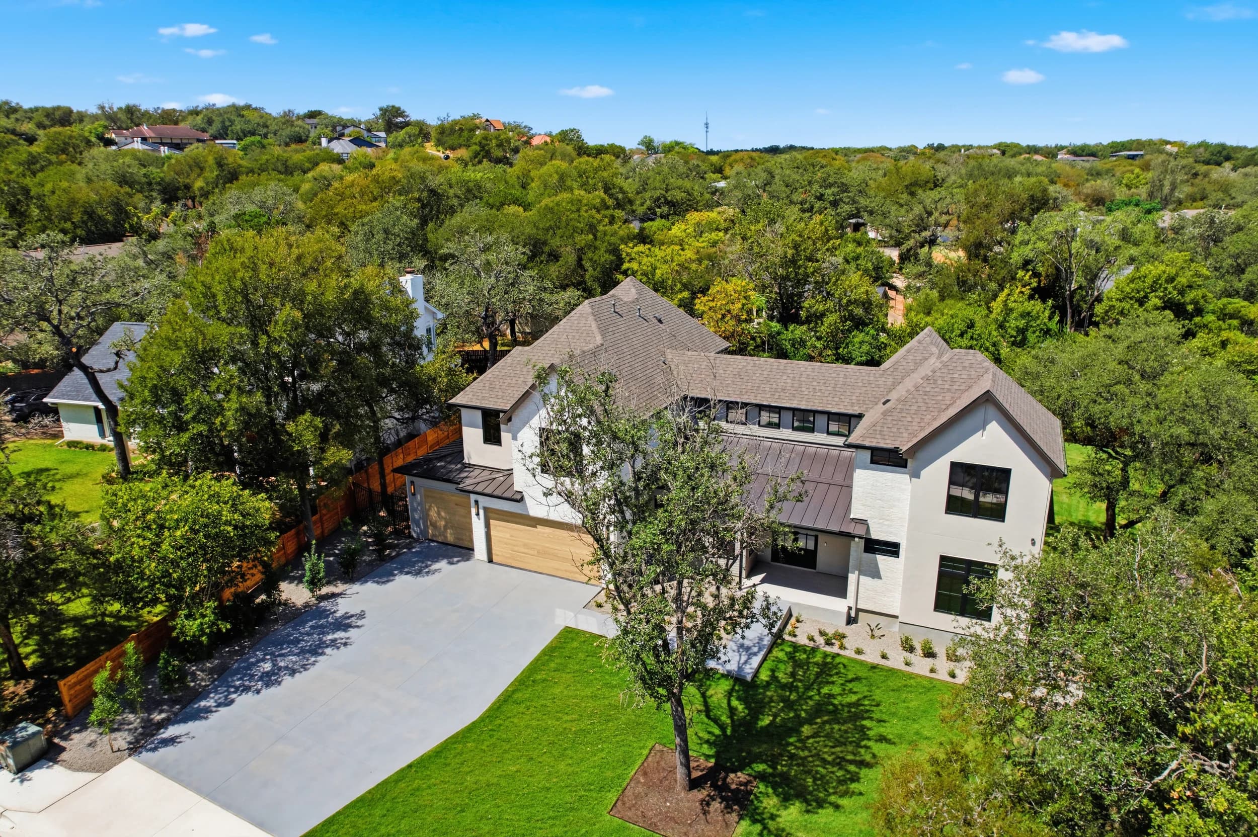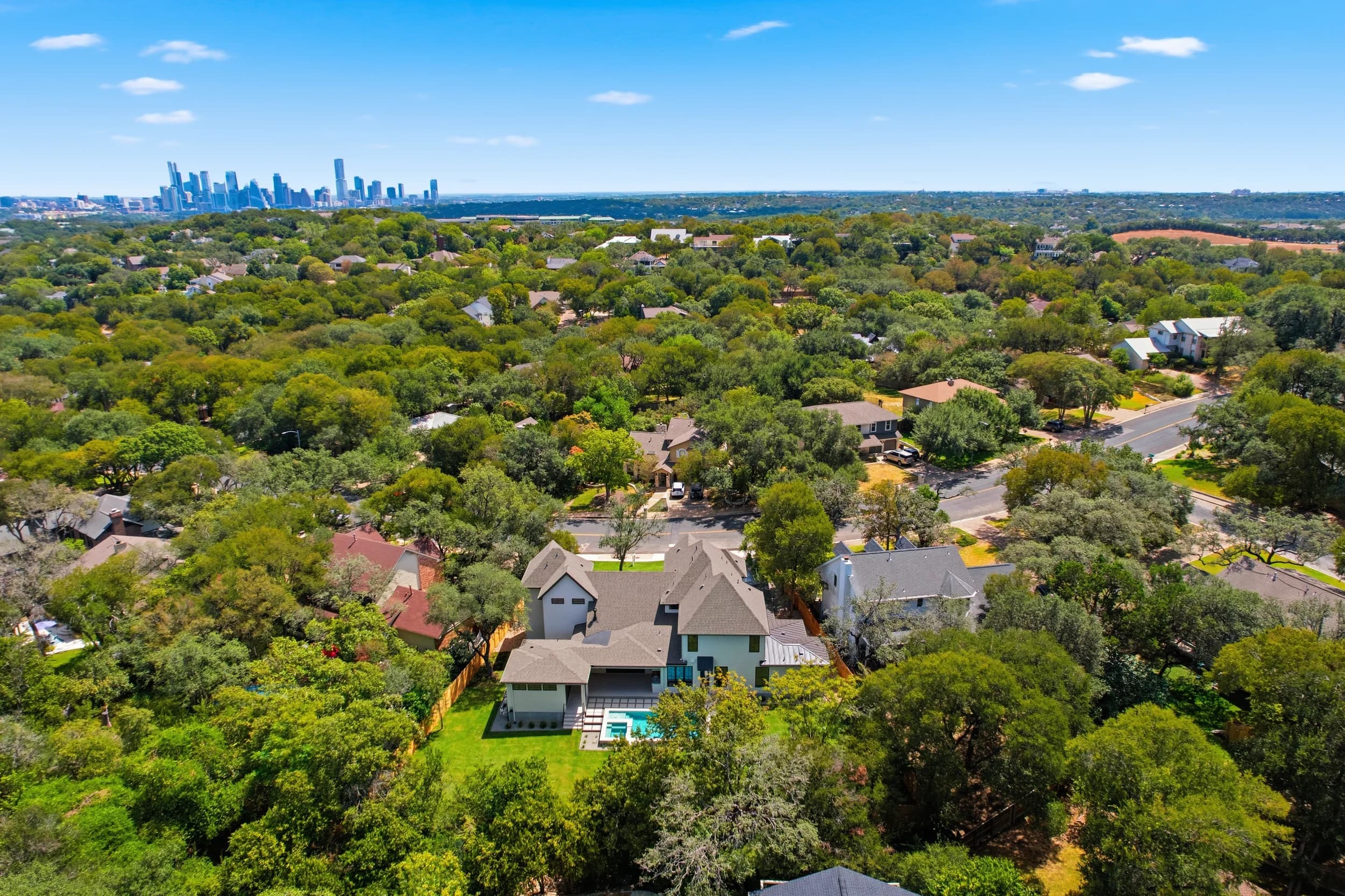
Drone photography in Austin has a wrinkle that surprises a lot of agents and builders: some of the area's most marketable neighborhoods sit near controlled airspace. Homes and new communities near Austin-Bergstrom International Airport (AUS), properties around downtown and the Capitol, and parts of the suburbs near smaller airports can all need FAA authorization before a drone goes up, and now and then the answer limits what can be flown. Knowing this ahead of time keeps a listing launch or a builder's progress report on schedule.
This guide explains, in general terms, how airspace affects aerial photography across the Austin area, what the possible outcomes look like and how to plan around them. For the federal basics of who can legally fly for real estate, see our post on FAA Part 107 for real estate agents.
Where airspace comes into play around Austin
Controlled airspace surrounds airports with control towers, and it reaches well beyond the runways. Around Austin, the areas that most often need a closer look include:
- Southeast Austin and the AUS area. Neighborhoods and new communities around the airport, east of I-35 and out toward Del Valle, are the most common places where authorization is needed.
- Downtown and the Capitol area. Between nearby airspace, hospital helipads, tall buildings and crowds, downtown flights need more planning than a suburban lot.
- Suburbs near smaller airports. Pflugerville and Manor near Austin Executive Airport, Georgetown near its municipal airport, San Marcos near its regional airport and Lago Vista near its lakeside airstrip. Not every small airport has controlled airspace, but each one is a reason to check.
- Event areas. Large events, such as games at the university stadium, races at Circuit of the Americas and major festivals in Zilker Park, can bring temporary flight restrictions on top of the usual rules.
Texas also has state laws that touch on drone use, including limits near certain critical infrastructure. A professional pilot checks state rules along with federal ones before every flight.
What authorization actually looks like
For most controlled areas, a Part 107 pilot requests authorization through the FAA's LAANC system or, for more complex requests, through the FAA directly. The result usually falls into one of a few outcomes:
- Approved at the needed height. The flight goes ahead as planned.
- Approved at a lower ceiling. The drone can fly, but not as high. Many listing aerials still work, especially low frames that show the home, lot and yard.
- Further review needed. Requests that can't be approved automatically take longer, so they need to be filed well before the shoot.
- Not available. Occasionally a location or date simply can't be flown, for example inside an active temporary flight restriction.
The pilot handles the requests. The agent's or builder's part is to share the address early, flag any must-have angles and leave room in the schedule if the property sits in a sensitive area.
Planning a listing when the ceiling is low
A low ceiling doesn't have to mean a weaker gallery. Options include:
- Lower aerials that show the roofline, pool, backyard and lot shape.
- Elevated pole photography where a drone isn't possible.
- Stronger ground-level exteriors, a twilight frame and neighborhood context shot from the street.
- A floor plan or 3D tour to carry the layout story a high overview would otherwise tell.
For hillside and lakefront homes in west Austin, where the view is the selling point, flag the property early so the pilot can confirm what the airspace allows before anyone promises a view shot to a seller.
Builders and recurring flights
Builders running monthly progress flights around Austin face the same rules on every visit. Once a site's authorization pattern is known, it can be built into the program, and the same vantage points can be repeated each month. Our post on construction progress drone programs for Austin builders covers cadence and consistency. If you also build or sell in Tampa Bay, our Tampa Bay drone airspace guide covers that region separately.
Frequently asked questions
Can you fly a drone near Austin-Bergstrom airport?
Often, yes, with FAA authorization. Many locations near AUS can be approved, sometimes at a lower height than requested. A licensed Part 107 pilot checks each address and requests authorization before the shoot.
Can you fly a drone over downtown Austin?
Downtown flights are possible in some cases but take more planning because of nearby airspace, helipads, tall buildings and crowds. Rules about flying over people also apply. Share the address early and let the pilot confirm what can be done.
What happens if authorization is denied for my listing?
The shoot goes ahead with the rest of the package: ground exteriors, interiors and, where it helps, elevated pole shots or a floor plan to show the layout. Your photographer should tell you before shoot day, not after.
Do events like ACL or races at COTA affect drone shoots?
They can. Large events often bring temporary flight restrictions nearby. If your shoot date falls during a major event, ask your photographer to check restrictions for that date.
Do you offer drone photography in Austin suburbs like Georgetown and Pflugerville?
Yes. JRP's local crew flies across the Austin area, including Round Rock, Georgetown, Pflugerville, Leander and Lakeway. See our Austin drone photography page for details.
A quick airspace check at booking is the easiest way to keep aerials on schedule. Ready to book? Call or text (689) 600-2131 or get in touch.